Day 14 – Oamaru and hail

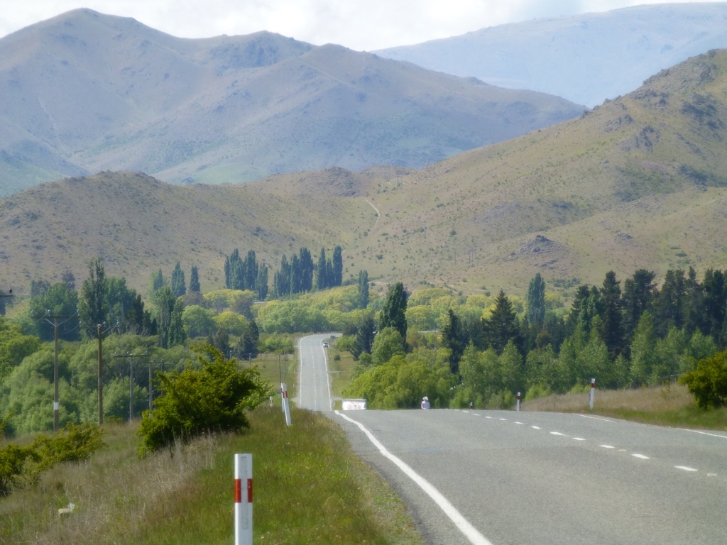
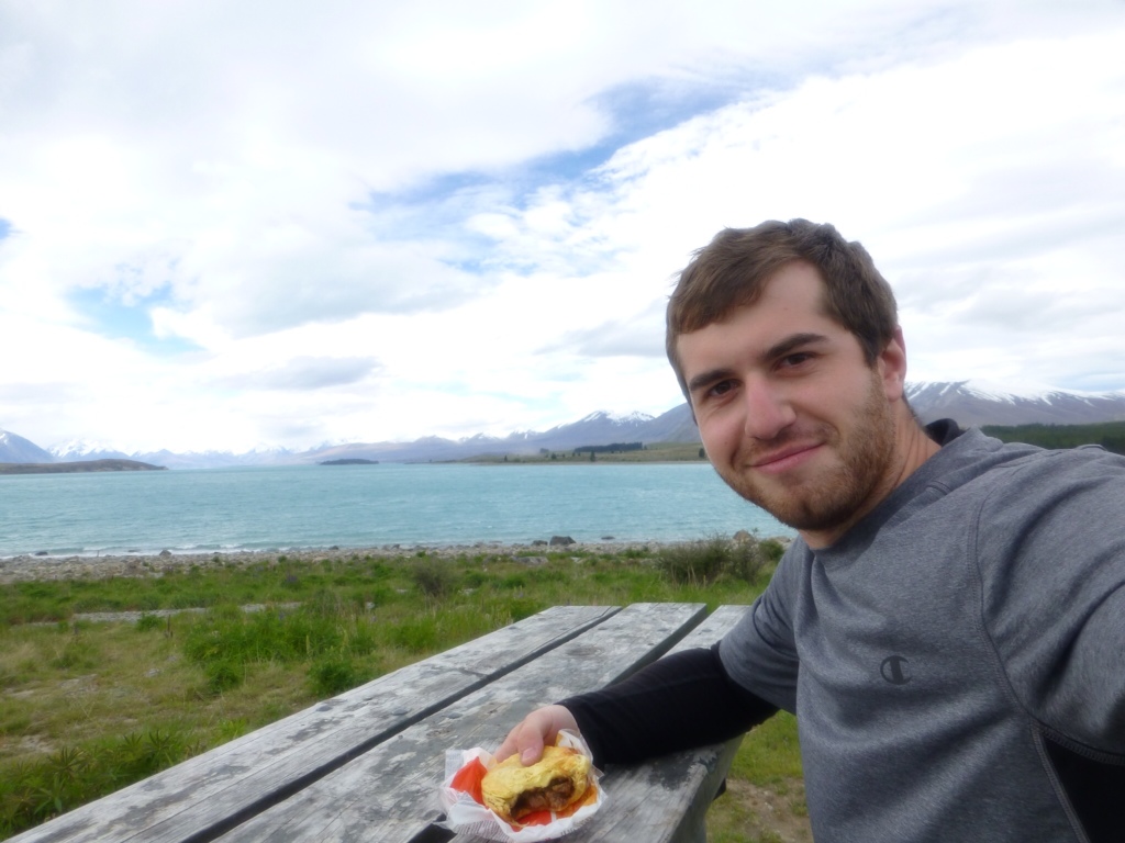
Today started out easy. Gentle downhill from camp until a fork in the road. Left takes a busy road all the way to Oamaru, right goes past the elephant rocks and over some pretty hilly areas. I hate my legs so I turn right.

I met a bus of people on what they called a bicycle tour of New Zealand. They get bussed to a small climb or pretty descent, get on their bikes and ride 10km or something and then get back on the bus. Most seemed to be in disbelief of what I was doing, as they followed a similar route but took the bus over all the big climbs and long stretches.

After setting off from where their morning ride ended, I finished the big climb of my day. After recent events I expected a wall of wind to be waiting for me when I could see over the peak. Instead it was thick black storm clouds. Jumped off my bike to put rain covers on my rear panniers, find my saddle cover and dig out my rain jacket and pants. Not long after finishing this it starts hailing so I hid under a nearby tree for a bit. When the hail let off I took off on the descent but it didn't stay away for long. 8 degrees Celsius with rain and hail as you go down a reasonably steep 10km descent is not pleasant. I was so thankful I bought a bike with disc brakes. The bus of cyclists honked and waved as they passed me. If they didn't already think I was insane I'm sure they did at that point.

Sun and blue skies were back out before I made it to Oamaru so all was well again. Apparently there is a penny farthing championship here on Sunday in the Victorian fest that's going on currently. I may take a side trip and come back to see it.

I'm not so good with my camera, gave it to her with flash forced off still from an earlier picture I took.


Day 13 – Taking the long route

The normal cyclist route through the South Island is to go from Omarama, over Lindis Pass (a pretty crazy alpine climb) and towards Queenstown. This skips the entire east coast south of Christchurch. Well, I've got a ton of time and I really didn't have the legs to go over Lindis Pass without taking a day off so I started to head towards Oamaru instead. My first actual city since Christchurch. They even have penguins!

Skipping Lindis didn't give me a completely easy day, though. I made the climb over a less dreadful pass and as soon as I crossed over the top I found the wind hiding on the other side and fought it all the way to camp. It's apparently common enough to warrant a handful of wind signs on the side of the road. At least I assume this is a wind sock on a sign.

Seeing the world slowly change every few days has been one of the coolest things about bicycle touring. Getting into the Otago region has brought quite the change in scenery. Granted there are still a lot of lakes with mountains on the other side.


Day 12 – Deja vu

Today I woke up after a freezing night at the base of a mountain, hiked for a bit, then cranked 100km back out of the valley, past the town I camped in the night before last, to Omarama.

I was maybe 5km past Twizel before I heard a magpie. Great. Saw quite a few on the rest of the ride, no attacks though.

A shot from my hike


Day 11 – Mount Cook and the Redditor

Today I hit a coffee shop near camp in Twizel to continue the impossible task of uploading photos I take here to Flickr. Made it through most of them before needing to hit the road, though.

I had a lot of long and gradual climbs as I worked upwards towards towards the base of Mount Cook. My only real complaint of touring the South Island (other than the wind, hills, magpies and soon I will add sand flies to this list) is that it is very sparsely populated. I really enjoy getting to take a long lunch with a beer. Sadly a lot of days I go from start to finish before seeing a place to eat. Usually there is a dairy along the way so I can get a cold coke and maybe a meat pie. Today the one restaurant mentioned by Pedallers Paradise, 55km in, was permanently closed. So from my coffee in Twizel until dinnerish at my destination (75km) I was on my own eating next to the road.

Shortly after sadly leaving where I was hoping to eat lunch, someone yelled “Hey I work for reddit!” out of a car window after spotting my jersey. So I pulled over and met Lia and her husband and talked for a while. I hadn't at this point figured out how to get my camera to deal with dimly lit people in front of bright backgrounds so hopefully I can get her to email me a better copy of this photo from her camera.


Day 10 – Wind

I learned two important lessons related to wind today. First, if your tent isn't a dome, make sure to take wind direction into account before setting up. Gusts last night were really mashing at the sides of my Big Agnes Seedhouse. I woke up thinking it was going to fall in on me. I guess it earned some points for holding up well anyways.

The second was that wind can blow so hard you have to pedal to keep going downhill.

The plan today was to take this hydrocanal road almost all the way between towns. At some point cross winds picked up so hard that my bike was making whistling sounds. I pushed on for about 10km in crazy winds as there was nowhere to stop on the road. On the right was the canal and on the left it dropped off to a field. Fortunately it was deserted so I could weave and swerve as needed.

I made it to where it intersects another road and hid behind a rock to rest and eat lunch. Hoped to wait out the wind but an hour and a half later it was only getting worse. Took a fun tail wind from it to go down the main road towards the town I was heading to anyway.

Eventually I met the winds (a little calmer) head on and learned the mentioned lesson about having to push to be able to ride down hill. After an exhausting 70km I made it to Lake Pukaki (which looked surprisingly similar to yesterday's lake..) and decided to cut it short and do 10km to Twizel instead of the 53km to Mount Cook.

Me at Lake Pukaki

While at the lake I discovered (and spent some time on) a dirt bike path that's part of the nearly finished “alps to ocean” bike path that will connect Mount Cook with the coast by 350km of solid bike path.


Day 9 – The lake whose name I never pronounce correctly

Today's ride was short, but rough. A measly 44km to get from Fairlie to Lake Tekapo (pronounced tea kuh poe, not any of the ways I get funny looks from locals for saying. I was a steady climb from camp until Burkes Pass which is two rather steep climbs. I decided at some point before a sharp turn during the last heavy climb of the pass that I couldn't go much longer and here was as good as any place to stop and look like a wuss on the side of the road. I snapped some sweet pictures and when I got back on my bike I found out that 50 feet ahead when the road turned, the climbing was over.

I can't believe I road up this
 

After that was the start of MacKenzie Country with the southern alps in the background until I made it to the beautiful (and highly crowded) Lake Tekapo at last. When I got to camp I ran into Jim and Tonya again (the couple touring from Australia). Apparently after the two days of climbing to get here they had taken a day off. Spent some time catching up over the last few days and they helped me make some plans for my time going forward so I don't run out of island before my time here is up.

A cloudy MacKenzie Country

If I haven't mentioned it already, meat pies are really popular here. Most coffee places sell them and most gas stations and convenience stores have them in those hot boxes or next to a microwave. I love these things. Next to beer they are the best thing imaginable after a long day on the saddle.

Me loving a meat pie next to the lake


Day 8 – Fairlie

Today I road from Geraldine to Fairlie by a scenic route to avoid the normal busy path which put today's distance at 75km. It was a long, draining gradual climb with a lot of headwinds. I wound up putting my Garmin in my handlebar bag because it was getting depressing to see how slow I was riding.

It was a beautiful day here; the first one warm enough for shorts and a short sleeve shirt. Unfortunately the magpie attacks got so bad I actually wound up trying to punch a bird, I succeeded only in making drivers around me laugh, sadly.

Grabbed dinner with the motorcycle tourist camping next to me tonight. A kiwi who's also cycled a lot of the two islands. Told him about my plans and after mentioning my expected time on the North Island he asked if I had considered going home early. Thanks dude. He cited the heavy traffic, unfriendly terrain and little to see.

I made a joke once before about being awful at roughing it. Well tonight the only camp in town was a motorcamp that not only has free showers and a tv with cable, it has free wifi covering the entire grounds. A pile of screaming children as well, though.

;

Day 7 – Giving the legs a day off

After six days on the bike I was exhausted. I thought I'd give the tour an easy start but had done nothing of the such. So with Geraldine being a reasonably sized town (population of 1500) with a pub in walking distance from a cheap place to pitch my tent I figured this would be a great place to take a rest.

The day started by meeting the first bicycle tourers that I've seen on my trip. An Australian couple, Jim and Tonya, were packing up their bikes at the camp heading off on the same route I'm on. I was sad that I needed to take a rest day and couldn't join them for some riding. Was cool to spend some time comparing notes about our trips and gear, though. They have a rest day planned soon so I may run into them again before our routes separate. Like me, they are living by the Pedallers' Paradise books. They've actually done this before so had some helpful tips for my journey. One of those being that I shouldn't attempt to ride Homer's Tunnel to Milford Sound. Meh. Lock the bike up and take a bus, they said.

After this I spent the day off much like I would one at home. I did laundry, hung out on the computer (found a local library with free wifi and computer access), tinkered with the bike, drank a big beer and watched some tv. I spent a long time at the library attempting to upload the 800mb of pictures I've taken so far on this trip. Most places I've found Internet access at have a very low (~50mb) cap which is usually killed by posting the photos for my blog and checking email/Facebook. Only made it a little over half way but there is a bunch of cool stuff on there now (http://www.flickr.com/photos/twymer/).

Tomorrow starts the uphill trek towards beautiful Lake Tekapo!


Day 6 – Out of the gorge and to Geraldine

I got an early start this morning because I was hoping to make it to Geraldine before the end of the day. I had to climb out of the gorge and make a total of 80km on the bike to do that. I really wanted to get here. I felt like I hadn't seen civilization in a while, it had been two days without Internet to post blogs and even longer without enough that I could upload my photos without hitting the data cap. I've been getting some noises on my bike that I couldn't fix myself and supposedly there's a bike shop here (though I couldn't find it today).

Geraldine isn't really a big place, population of 1500 and the kind of place everything fits on the one main road but I like it and think I'm taking a rest day tomorrow to get my bike back to normal and let my legs have a rest as Mt. Michael and Burke Pass are both in my next 80km of riding as I head towards Lake Tekapo.